
Treks & nature
Chandratal to Baralacha La Trek
Through the Upper Chandra Valley
At a glance
- Location
- Upper Chandra Valley, Lahaul and Spiti
- How to reach
- Approach Chandratal from Batal or Kunzum and arrange pickup at Baralacha La.
- Walking difficulty
- Strenuous high-altitude camping trek with remote stream crossings.
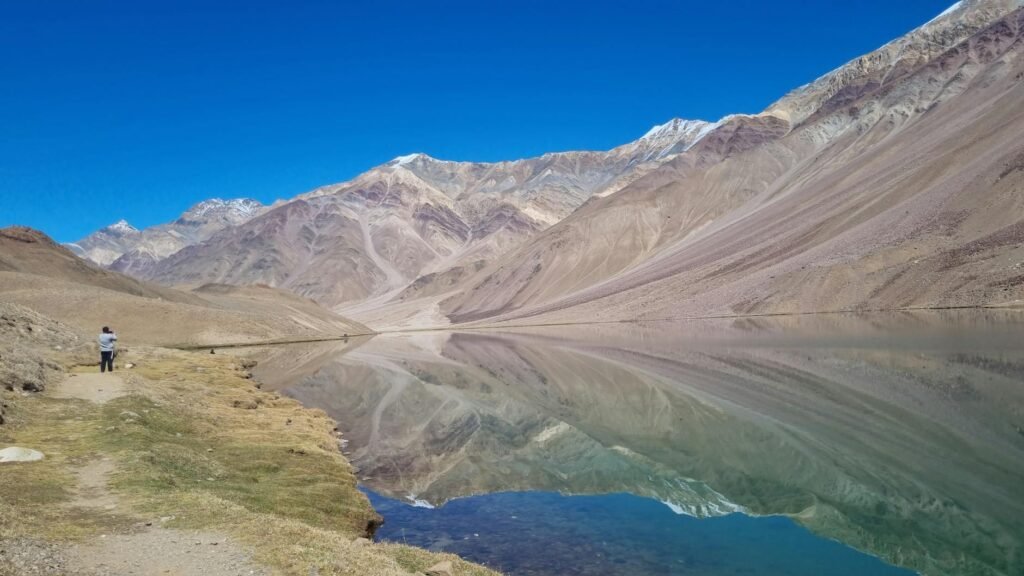
At Chandratal most visitors turn back towards the road. This trek continues into the upper Chandra Valley, linking two streamside camps before meeting the Manali–Leh highway at Baralacha La.
🥾 Trek at a Glance
- Route: Chandratal – Tokpo Yongma – Tokpo Gongma – Baralacha La
- Time: Three walking stages from the lake, in addition to the approach and acclimatisation days. The pass is around 4,900 m.
- Walking difficulty: Strenuous high-altitude camping trek with remote stream crossings.
🌄 Location and how to reach it
Choose your approach when comparing itineraries. Some teams walk in from Batal and others start the approach at Kunzum. The three-stage count begins at Chandratal itself. Confirm the permitted overnight site and book a vehicle for the far end.
Google Maps: Find the starting area
🗺️ The Trail, Stage by Stage
- Chandratal to Tokpo Yongma. Leave the lake basin for the open valley. The first camp positions the group near the lower stream. Ask the guide where the day’s water and sheltered stopping places are.
- Tokpo Yongma to Tokpo Gongma. This is the link between the lower and upper stream camps. Runoff can determine the timing of the day, even when the distance looks modest on a map.
- Tokpo Gongma to Baralacha La. Beyond the upper stream, grassy stretches give way to boulders on the climb to the road. Agree on a precise meeting point with the driver before leaving the lake.
🌤️ Best Time and Access
Plan for the summer access window only after confirming the lake approach, stream conditions and the highway exit. An open road at Baralacha La tells you little about conditions at either stream camp.
🎒 What to Carry and When to Turn Back
Pack windproof layers, rain protection and enough food for an extra camp. Discuss high-water alternatives with the guide. If the crossings are unsafe, a delayed pickup is preferable to committing the group to fast water.
Walking distance from Chandratal
Lion Heart Expeditions puts the three stages between Chandratal and the highway at roughly 32 km in total, with stages of 12, 10 and 10 km. The listed walking times are about 6, 5 and 5 hours before any delays. Those figures cover the lake-to-pass section. Count the walk in from Batal or Kunzum separately. Camp names vary across published itineraries, so agree with your guide on the order of the stream crossings, the overnight sites and the exact highway pickup.
Lion Heart’s lake-to-pass distances · Potala Adventurers’ day-by-day route