
Hydropower & River Projects
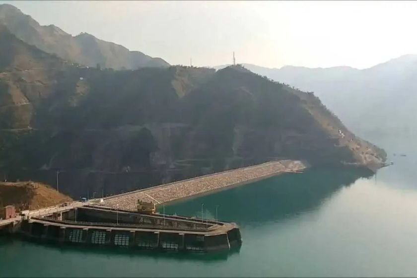
Koldam Hydroelectric Project, Sutlej Valley
NTPC’s 800 MW storage project upstream of Gobind Sagar
At a glance
- Location
- Koldam, Bilaspur–Mandi area
- How to reach
- Confirm the approach for the chosen public stop
- Walking difficulty
- Public approaches and designated viewpoints
Koldam holds water on the Sutlej upstream of Bhakra. It is NTPC’s 800 MW project, with four generating units and a reservoir that extends well beyond the dam area.
🌄 Location and how to reach it
Use the dam name to orient yourself on the Sutlej. The backwater stops and the project gates sit on different routes. Decide which bank or settlement you are visiting before leaving the highway.
Google Maps: Map the approach
- By road: Ask locally which road reaches your chosen public viewpoint from the Bilaspur or Sundernagar side. Confirm where you can stop without using a project road.
- By public transport: Use Bilaspur or Sundernagar as a transport hub and arrange the last stretch for the specific public stop.
- On foot: Stay on public paths and set back from loose banks. Ask NTPC directly if you want to arrange a formal visit.
⚙️ Four 200 MW units
NTPC’s tariff filing identifies four 200 MW machines at the Koldam station. BHEL records commissioning the sets in 2015. The project stores Sutlej water and uses the difference in water level across the dam to develop the pressure needed by the turbines.
🌊 The Sutlej between Koldam and Bhakra
Koldam and Bhakra are separate projects and reservoirs. Releases from the upstream scheme continue down the Sutlej system. Reading the river in sequence helps explain why a view of Koldam’s backwaters is different from a stop at Gobind Sagar.
🧭 The dam and the backwaters
The narrow upstream reservoir winds through parts of the original valley. If your purpose is to see that landscape, pick a known public point and confirm the bank you can reach. A pin for the power station usually leads towards the operations area.