
Treks & nature
Kugti Pass Trek from Bharmour to Lahaul
A Remote Pir Panjal Crossing to Jobrang
At a glance
- Location
- Chamba to Lahaul
- How to reach
- Dharol side via Bharmour, with a Jobrang exit
- Walking difficulty
- Very strenuous high-pass traverse
Follow the Budhil valley to Kugti village, then climb through shepherd grounds and over a high, remote pass into Lahaul.
🥾 Trek at a Glance
- Route: Dharol roadhead → Kugti village → Duggi side → Alyas camp → Kugti Pass → Jobrang side
- Distance or elevation: Around 5,000 m at the pass. Published elevations vary.
- Planning: Allow approximately five trekking days on the tourism itinerary, with extra time for acclimatization, road transfers and delays.
🌄 Location and how to reach it
The route begins beyond Bharmour in Chamba and exits into the Chandra–Bhaga valley in Lahaul. The roadhead is written Dharol or Dhanol in published accounts. Confirm the point where vehicles stop before planning your first stage.
Google Maps: Find the trailhead
- By road: Travel through Chamba and Bharmour to the confirmed Kugti-side roadhead. Book a separate driver for the Lahaul exit.
- By public transport: Reach Bharmour and arrange the final local transfer. Plan the return through the Lahaul road network separately.
- On foot: Walk towards Kugti village from the roadhead used by your group. Check the camp sequence and crossing plan with a guide who knows both sides.
🗺️ The Trail, Stage by Stage
- Roadhead to Kugti. Follow the lower valley and climb into the village. Check the next stages before walking beyond habitation.
- Kugti to the upper grazing grounds. Continue towards the Duggi side and the planned Alyas camp. Confirm water and space at the high camp, and split the approach to give the group time to adjust to altitude.
- High camp over Kugti Pass. Leave early for a sustained climb and a steep descent. Cross only with a confirmed route, suitable gear and conditions that allow enough time to reach the Lahaul camp.
- Lahaul camp to Jobrang. Descend to the current roadhead, which may be short of the village or reached via a local track. Share the meeting point with your driver before leaving Bharmour.
🌤️ Best Time and Access
Choose a suitable window after checking snow on the pass and the trails on both sides. Confirm sanctuary access and camping with the relevant forest office. If bridges, crossings or the far-side road are unusable, revise the plan before starting.
🎒 What to Carry and When to Turn Back
Carry independent shelter, food, insulation, a headlamp and water treatment. Agree on a safe retreat from the Chamba side and an evacuation plan after crossing. Share a spare-day plan and confirm the Lahaul pickup before going out of contact.
Sources and Further Reading
- Himachal Tourism Kugti Pass route overview
- State trekking portal, Kugti Pass
- IndiaHikes documented crossing and Jobrang roadhead
- Kugti Wildlife Sanctuary management plan
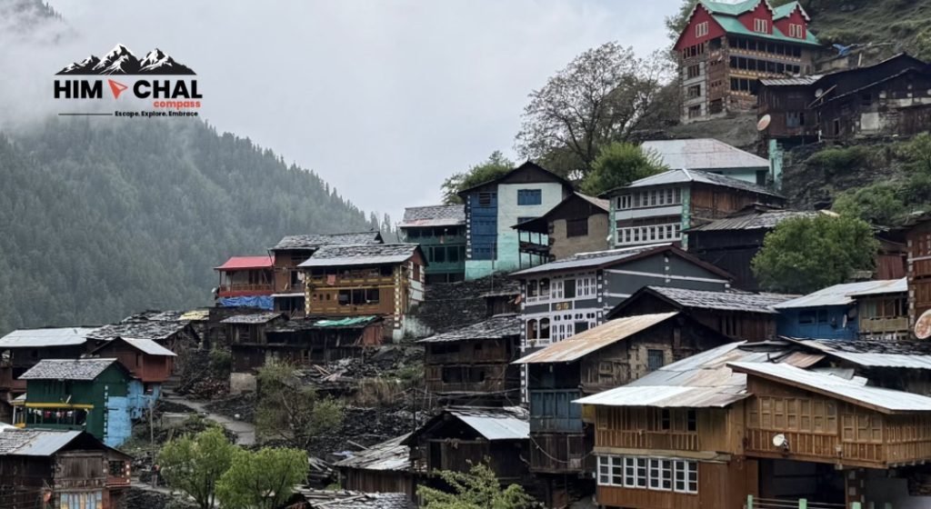
Featured photo: Himachalcompass · Original photograph · CC BY-SA 4.0. Displayed at a reduced size.
