
Hydropower & River Projects
Larji Hydroelectric Project, Beas Valley
A 126 MW station between Larji and Thalout
At a glance
- Location
- Larji–Thalout reach, Beas valley
- How to reach
- Via NH3 from Mandi or Kullu
- Walking difficulty
- Public approaches and designated viewpoints
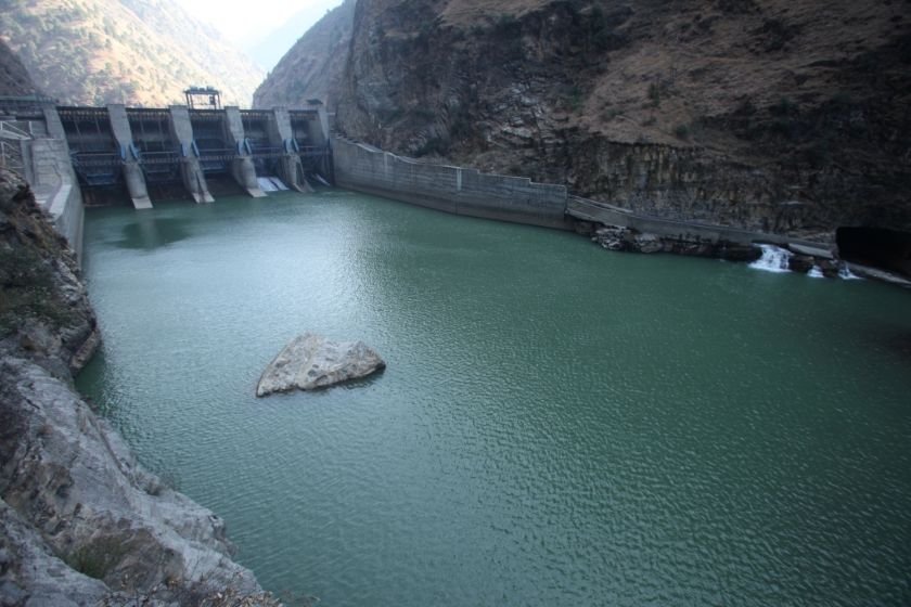
At Larji the Beas enters a narrow valley on its way towards Mandi. The 126 MW HPSEBL station uses the fall of the river along this stretch.
🌄 Location and how to reach it
Larji is close to the turn towards Sainj and Tirthan. HPSEBL also identifies Thalout in its power-house records. For a stop, use Larji village or another established roadside destination and arrange any engineering visit separately.
Google Maps: Map the approach
- By road: Follow the Mandi–Kullu corridor towards Aut and the Larji turn. Use a designated parking point and keep tunnel portals and narrow highway shoulders clear.
- By public transport: Check for a stop at Aut or Larji on the service you intend to take. Ask how to reach your specific public destination from there.
- On foot: Use village lanes and established pedestrian areas. Stay out of the active river channel, including when exposed rocks make it look easy to enter.
⚙️ Three generating units on the Beas
CEA records three 42 MW units, all commissioned in 2006. The station diverts flow and uses the difference in elevation to generate power before releasing the water back into the river. The CEA inventory classifies it as run-of-river with pondage, which describes limited short-term storage behind the diversion.
🌊 Why river level matters below the works
The width and depth of the channel can change with releases as well as changing weather upstream. An exposed gravel bar is part of the riverbed and can be inundated. Watch from a bank-side public area above the channel and follow local signs or announcements.
🧭 The wider valley
Larji is on the main Beas system. The nearby Sainj project and NHPC’s Parbati works use tributaries with their own intakes and power houses. Starting with the rivers on a map makes it easier to tell which station a sign refers to.